

The AllTrails app helps you choose a trail with fewer surprises. Search by place or keyword, filter the results, then open a trail page to check its route, distance, elevation, estimated time, photos, and map before you leave.
That makes it useful for a pre-hike check. Look at the climb, browse recent trail photos, and check conditions when weather or the trail itself may change the plan. If service may disappear, Plus or Peak can save a map to your phone so built-in GPS can still show your position. AllTrails Help explains the download flow.
Search for a route that fits your day
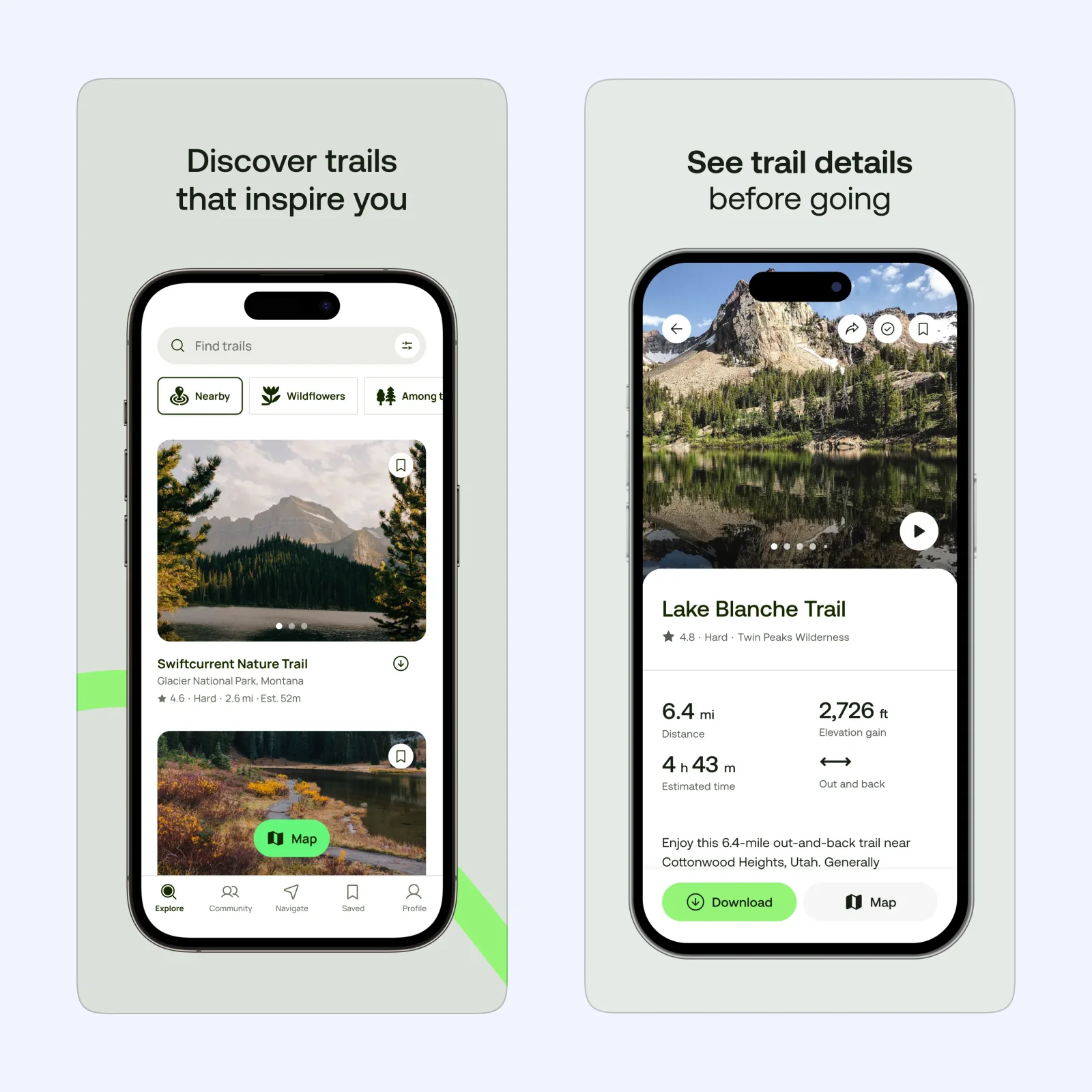
The Explore tab is the starting point. Search by location or keyword, then filter by interest or skill level. The listing also calls out trail types such as dog friendly, kid friendly, stroller friendly, and wheelchair friendly. Save a trail if you need to compare it with another option later.
Open a result before deciding. The detail page puts distance, elevation gain, estimated time, and route shape near the top. That tells you whether the route fits today. A short distance can still hide a serious climb, so elevation gain deserves equal attention.
Use photos and conditions to revise the plan
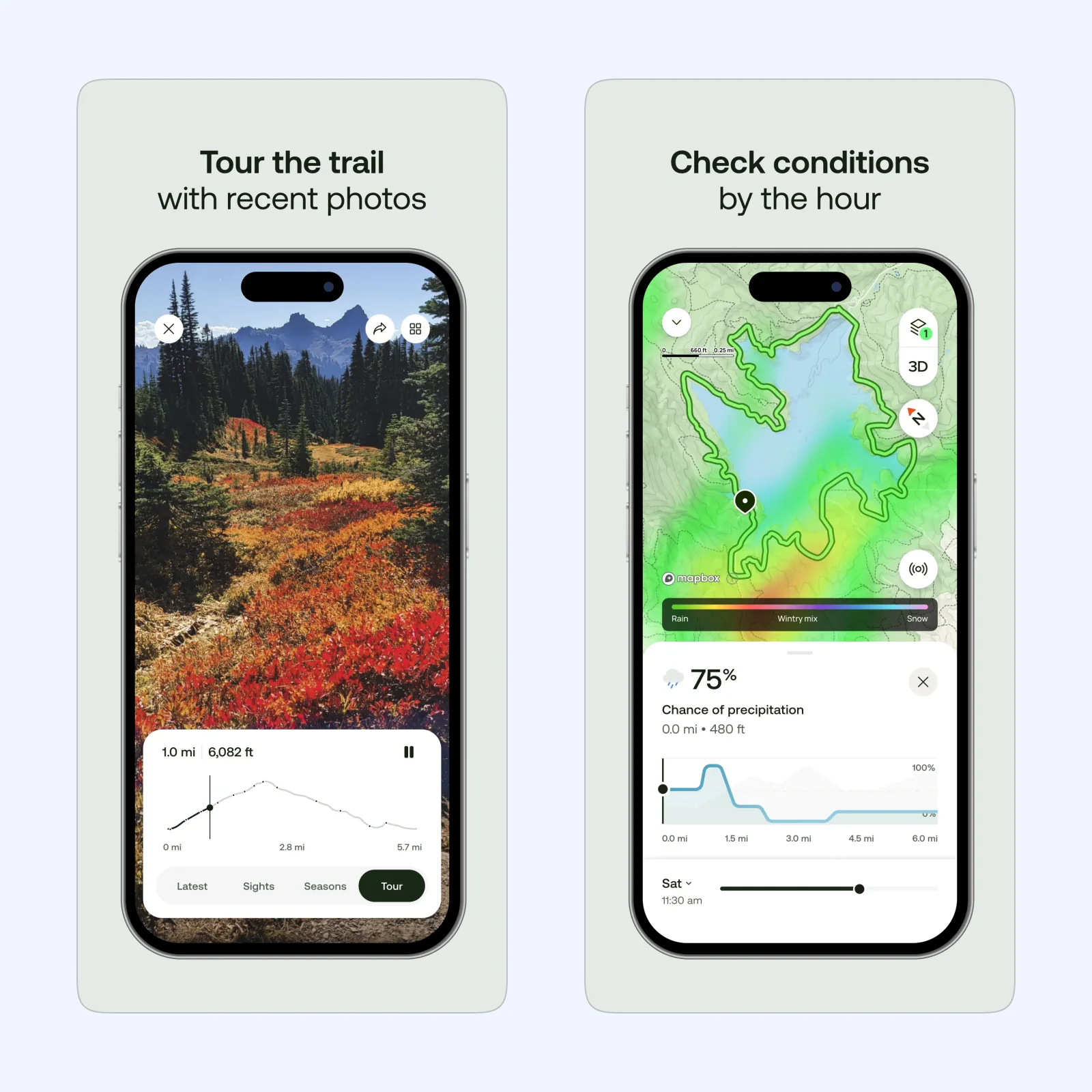
The Tour view includes Latest, Sights, and Seasons tabs, with a route profile below the photo. Recent images give you more context than the route line alone, so you can check whether the trail looks like the walk you had in mind.
Paid Plus and Peak plans add trail condition information. AllTrails says this can include temperature, precipitation, snow depth, and air quality alerts. Check it before you leave, then compare it with local advice and your own judgment. Use the forecast as context, then make your own call about the path.
Download maps before you lose service
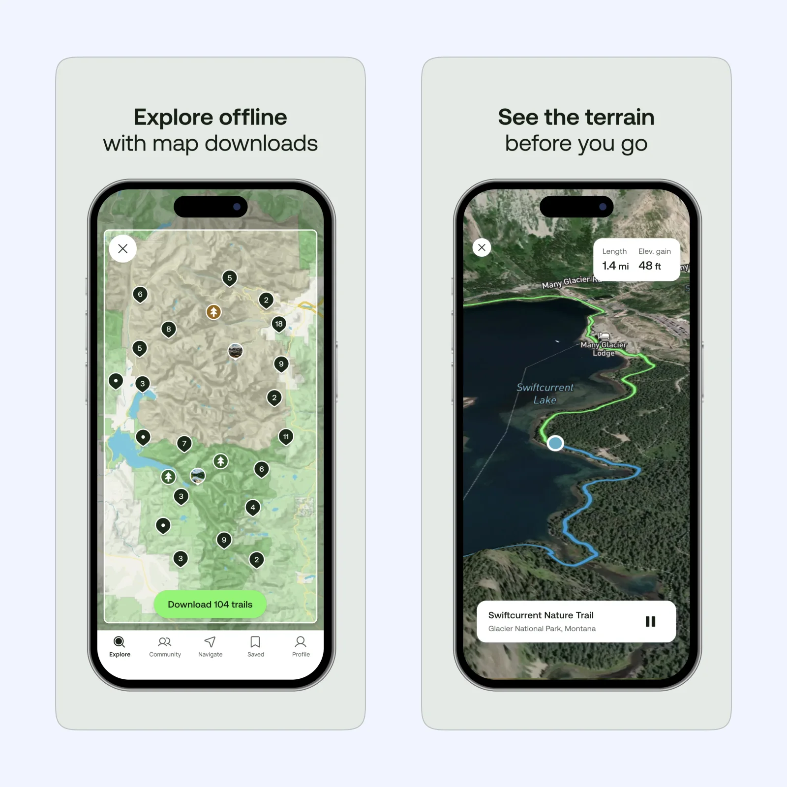
Offline maps solve one practical problem: losing the signal. They are not part of the free Base tier. With Plus or Peak, find the route, tap download, and check Saved > Downloads while you still have a data connection. AllTrails says the downloaded map uses your phone's built-in GPS even without a data signal.
Before you commit, the same trail page can open a 3D trail preview. AllTrails says it shows cumulative elevation gain as the preview moves along the route.
On the trail, Navigate can record a walk, run, cycle, or other outdoor activity while showing stats such as distance, pace, and elevation. Plus adds wrong-turn alerts, and Peak includes Plus features. Keep the phone charged and carry a backup plan. An offline app does not replace local trail signs or your own judgment.
Is AllTrails a good fit?
Use it if your main problem is route choice. AllTrails offers a free Base tier, with Plus and Peak as paid membership plans. Pay when you need offline maps or wrong-turn alerts. The App Store lists iPhone support from iOS 17 or later and Apple Watch support from watchOS 10 or later.
The App Store privacy label says the app may use location even when it is not open. It also lists location, contact info, contacts, identifiers, and diagnostics as data that may be collected and linked to you. Check the permissions before you start. For occasional day walks, the free tier may be enough. For hikes where service is unreliable, Plus or Peak make more sense. For more app guides, browse the Sir Studio blog.